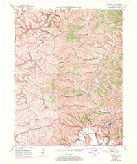
1952 Map of Owingsville
USGS Topo · Published 1971About this map
Owingsville serves as the hub of this Bath County landscape, situated where the Midland Trail crosses the winding course of Slate Creek. The 1952 topography, updated in 1969, reveals a terrain defined by steep ridges and narrow valleys that forced early infrastructure into specific corridors. The northern portion is dotted with small rural communities like Bethel and Reynoldsville, each centered around local landmarks such as Bethel Ch and Reynoldsville Ch.
Find a feature on this map
42 named features on this map. Tap any name to fly to it.
Don’t see what you’re looking for? This feature index may not catch every label — zoom into the map to look around manually.
Map Details
Editions of this 1952 Owingsville Map
4 editions found
Other maps of this area

1929 · Salt Lick
USGS Topo · 1:62,500

1934 · Salt Lick
USGS Topo · 1:62,500

1951 · Hillsboro
USGS Topo · 1:24,000

1952 · Preston
USGS Topo · 1:24,000

1952 · Owingsville
USGS Topo · 1:24,000

1952 · Sharpsburg
USGS Topo · 1:24,000

1952 · Mount Sterling
USGS Topo · 1:24,000

1952 · Sherburne
USGS Topo · 1:24,000

1953 · Olympia
USGS Topo · 1:24,000

1953 · Moorefield
USGS Topo · 1:24,000