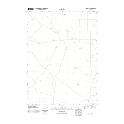
2010 Map of Owinza Butte
USGS Topo · Published 2010About this map
Owinza Butte rises as a primary landmark in this section of Idaho, overlooking a high-desert landscape defined by a complex network of small lakes and man-made reservoirs. The terrain is crisscrossed by a rigid grid of local roads, such as Stoker Rd and Owinza Rd, reflecting the systematic agricultural and grazing development of the region. This 2010 survey highlights a water-management strategy essential to the area, featuring numerous catchment points like Elden Reservoir, Jack Reservoir, and Tumbleweed Reservoir. Scattered among these are naturally occurring basins including Russian Lake, Mule-Shoe Lake, and Mallard Lake. The absence of large town centers suggests a sparsely populated rural district where geography is shaped by the search for water and the management of land for livestock or drought-resistant agriculture.
Find a feature on this map
31 named features on this map. Tap any name to fly to it.
Don’t see what you’re looking for? This feature index may not catch every label — zoom into the map to look around manually.
Map Details
Editions of this 2010 Owinza Butte Map
This is the sole edition of this map. No revisions or reprints were ever made.
Other maps of this area

1954 · Pocatello
USGS Topo · 1:250,000

1955 · Twin Falls
USGS Topo · 1:250,000

1958 · Twin Falls
USGS Topo · 1:250,000

1958 · Pocatello
USGS Topo · 1:250,000

1964 · Burley NW
USGS Topo · 1:24,000

1964 · Hazelton NE
USGS Topo · 1:24,000

1964 · Hunt
USGS Topo · 1:24,000

1971 · Star Lake
USGS Topo · 1:24,000

1971 · Owinza
USGS Topo · 1:24,000

1971 · Dietrich Butte
USGS Topo · 1:24,000