
2013 Map of Owinza Butte
USGS Topo · Published 2013About this map
Owinza Butte stands as a prominent landmark in this desert landscape, which straddles the boundary between Lincoln and Jerome counties. The area is defined by a sparse network of section-line roads such as Owinza Rd and Stoker Rd, reflecting the systematic grid of the Public Land Survey System. Despite the arid environment, the map reveals a surprisingly dense collection of water features, many bearing names that suggest their importance to local wildlife and irrigation efforts. High-desert reservoirs like Meadowlark Reservoir, Tumbleweed Reservoir, and Elden Reservoir appear alongside naturally formed catchments including Duck Lake, Sand Lake, and Mule Shoe Lake. This pattern of named water bodies underscores the critical role of water management and seasonal runoff in the high-desert ecology of southern Idaho during the early twenty-first century.
Find a feature on this map
38 named features on this map. Tap any name to fly to it.
Don’t see what you’re looking for? This feature index may not catch every label — zoom into the map to look around manually.
Map Details
Editions of this 2013 Owinza Butte Map
This is the sole edition of this map. No revisions or reprints were ever made.
Other maps of this area

1954 · Pocatello
USGS Topo · 1:250,000

1955 · Twin Falls
USGS Topo · 1:250,000

1958 · Twin Falls
USGS Topo · 1:250,000

1958 · Pocatello
USGS Topo · 1:250,000
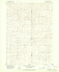
1964 · Burley NW
USGS Topo · 1:24,000
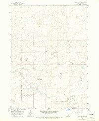
1964 · Hazelton NE
USGS Topo · 1:24,000
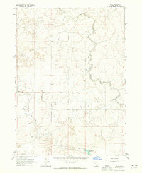
1964 · Hunt
USGS Topo · 1:24,000
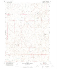
1971 · Star Lake
USGS Topo · 1:24,000
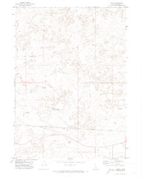
1971 · Owinza
USGS Topo · 1:24,000
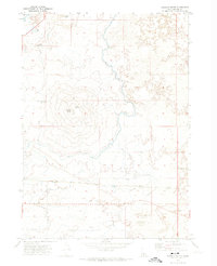
1971 · Dietrich Butte
USGS Topo · 1:24,000