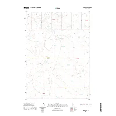
2020 Map of Owinza Butte
USGS Topo · Published 2020About this map
Owinza Butte rises as the primary topographic landmark above a landscape of high desert basins and seasonal water bodies along the border of Lincoln and Jerome counties. The terrain is characterized by an extensive network of ephemeral lakes and man-made impoundments, illustrating the region's managed water systems. Named features like Elden Reservoir, Stewart Reservoir, and Meadowlark Reservoir dominate the central and eastern portions of the map, while natural basins such as Mule Shoe Lake and New Years Lake appear in the west. The sparse road network, including Owinza Rd and Stoker Rd, follows the section lines of the Public Land Survey System, highlighting the organized, rural character of this Idaho plateau at the beginning of the 21st century.
Find a feature on this map
38 named features on this map. Tap any name to fly to it.
Don’t see what you’re looking for? This feature index may not catch every label — zoom into the map to look around manually.
Map Details
Editions of this 2020 Owinza Butte Map
This is the sole edition of this map. No revisions or reprints were ever made.
Other maps of this area

1954 · Pocatello
USGS Topo · 1:250,000

1955 · Twin Falls
USGS Topo · 1:250,000

1958 · Twin Falls
USGS Topo · 1:250,000

1958 · Pocatello
USGS Topo · 1:250,000

1964 · Burley NW
USGS Topo · 1:24,000

1964 · Hazelton NE
USGS Topo · 1:24,000

1964 · Hunt
USGS Topo · 1:24,000

1971 · Star Lake
USGS Topo · 1:24,000

1971 · Owinza
USGS Topo · 1:24,000

1971 · Dietrich Butte
USGS Topo · 1:24,000