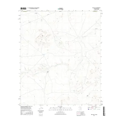
2016 Map of Owl Hills
USGS Topo · Published 2016About this map
The Delaware River meanders across the high desert terrain of the Texas and New Mexico border, serving as the primary drainage for this arid landscape. This 2016 survey highlights the stark geography of the Owl Hills and several topographic depressions including Kimbell Draw, Gyp Draw, and China Draw. Water management in this sparsely populated region is evidenced by scattered catchments such as Owl Tank, McWilliams Tank, and Brushy Tank, which provide essential resources for cattle or wildlife. The infrastructure of the area is dominated by the industrial utility of Pipeline Rd, which cuts through the northern section of the quadrangle, while the southern portion transitions into the open expanse of Culberson County, Texas.
Find a feature on this map
12 named features on this map. Tap any name to fly to it.
Don’t see what you’re looking for? This feature index may not catch every label — zoom into the map to look around manually.
Map Details
Editions of this 2016 Owl Hills Map
This is the sole edition of this map. No revisions or reprints were ever made.
Other maps of this area
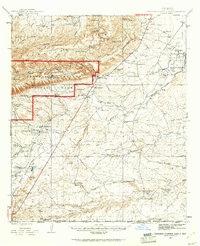
1945 · Carlsbad Caverns East
USGS Topo · 1:62,500
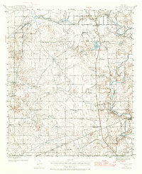
1945 · Malaga
USGS Topo · 1:62,500
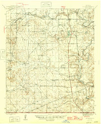
1946 · Malaga
USGS Topo · 1:62,500
1947 · Carlsbad Caverns East
USGS Topo · 1:62,500

1954 · Carlsbad
USGS Topo · 1:250,000

1954 · Van Horn
USGS Topo · 1:250,000

1958 · Van Horn
USGS Topo · 1:250,000

1958 · Carlsbad
USGS Topo · 1:250,000
1973 · Owl Hills
USGS Topo · 1:24,000
1973 · Screw Bean Draw West
USGS Topo · 1:24,000