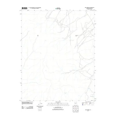
2011 Map of Owl Spring
USGS Topo · Published 2011About this map
Owl Spring and the surrounding high desert terrain define this corner of Navajo County, captured in this 2011 topographic study. The landscape is marked by significant topographical shifts, including the prominent elevation of Owl Spring Mesa and the geological passage at Rock Gap. Water sources are critical landmarks in this arid environment, with Many Skull Spring situated in the southern portion of the quadrangle. The map documents a network of unpaved transit corridors such as Indian Rte 591 and Indian Rte 6510, which provide the primary means of traversing the remote canyons and plateaus. These routes and named springs reveal the essential infrastructure required for life and travel in the high desert at the start of the twenty-first century.
Find a feature on this map
7 named features on this map. Tap any name to fly to it.
Don’t see what you’re looking for? This feature index may not catch every label — zoom into the map to look around manually.
Map Details
Editions of this 2011 Owl Spring Map
This is the sole edition of this map. No revisions or reprints were ever made.
Other maps of this area

1883 · Marsh Pass
USGS Topo · 1:250,000

1892 · Marsh Pass
USGS Topo · 1:250,000

1956 · Marble Canyon
USGS Topo · 1:250,000

1959 · Marble Canyon
USGS Topo · 1:250,000

1961 · Marble Canyon
USGS Topo · 1:250,000
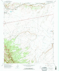
1968 · Kayenta East
USGS Topo · 1:24,000
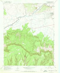
1968 · Kayenta West
USGS Topo · 1:24,000
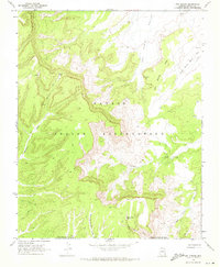
1968 · Owl Spring
USGS Topo · 1:24,000
1968 · Yucca Hill
USGS Topo · 1:24,000
1968 · Chilchinbito
USGS Topo · 1:24,000