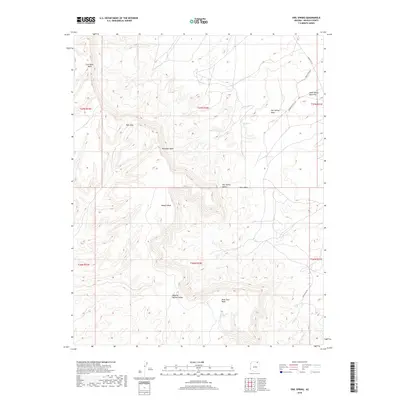
2018 Map of Owl Spring
USGS Topo · Published 2018About this map
Owl Spring serves as a primary namesake for this high-desert region of Navajo County, which is defined by a system of mesas and deep drainage washes. The topography transitions from the high elevations of Owl Spring Mesa down into sheltered corridors like Owl Spring Valley and Dipping Bucket Valley. Water, though sparse, dictates the geography here, with Many Skull Spring and the extensive Moenkopi Wash system carving paths through the arid terrain. The map documents the presence of Coal Mine Wash and Aasayii Wash, indicating a landscape shaped by seasonal runoff. Cultural markers are primarily confined to indigenous transportation routes, most notably Indian Rte 591 and Indian Rte 6541, which provide access to more remote locations like Small White Mesa Flat and the geological passage at Rock Gap.
Find a feature on this map
20 named features on this map. Tap any name to fly to it.
Don’t see what you’re looking for? This feature index may not catch every label — zoom into the map to look around manually.
Map Details
Editions of this 2018 Owl Spring Map
This is the sole edition of this map. No revisions or reprints were ever made.
Other maps of this area

1883 · Marsh Pass
USGS Topo · 1:250,000

1892 · Marsh Pass
USGS Topo · 1:250,000

1956 · Marble Canyon
USGS Topo · 1:250,000

1959 · Marble Canyon
USGS Topo · 1:250,000

1961 · Marble Canyon
USGS Topo · 1:250,000
1968 · Kayenta East
USGS Topo · 1:24,000
1968 · Kayenta West
USGS Topo · 1:24,000
1968 · Owl Spring
USGS Topo · 1:24,000
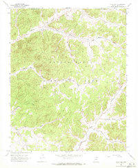
1968 · Yucca Hill
USGS Topo · 1:24,000
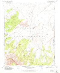
1968 · Chilchinbito
USGS Topo · 1:24,000