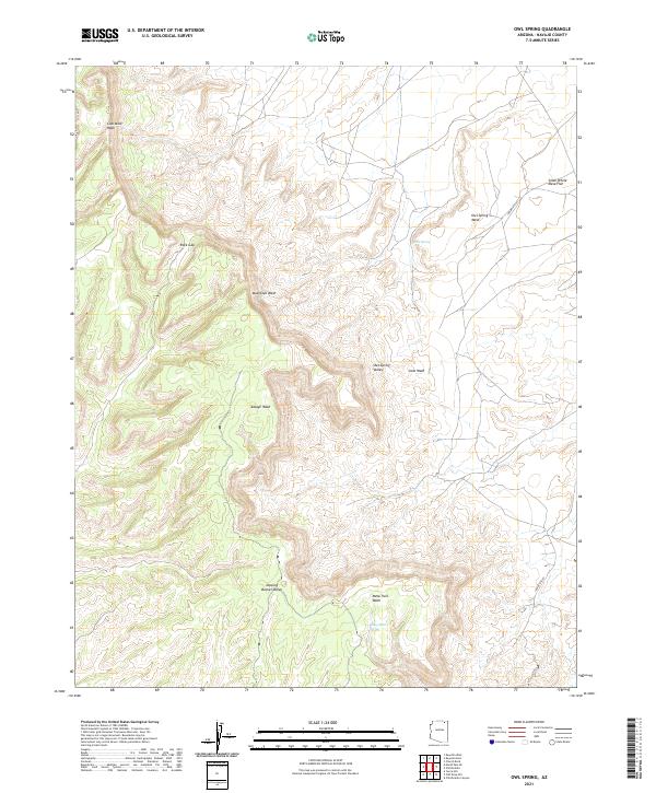
2021 Map of Owl Spring
USGS Topo · Published 2021About this map
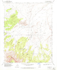
Owl Spring and the nearby Many Skull Spring serve as critical water points in this arid expanse of Navajo County, defining a landscape of high mesas and deep drainage basins. The topography is dominated by the massive Owl Spring Mesa and the prominent Rock Gap, where the terrain breaks significantly. Several seasonal waterways, including Moenkopi Wash, Cane Wash, and Coal Mine Wash, illustrate the complex hydrologic network that has shaped the Owl Spring Valley over generations. This modern survey details the contemporary connectivity of the region via Indian Rte 6541 and Indian Rte 593, while highlighting the traditional significance of locations like Dipping Bucket Valley and the Small White Mesa Flat.
Find a feature on this map
20 named features on this map. Tap any name to fly to it.
Don’t see what you’re looking for? This feature index may not catch every label — zoom into the map to look around manually.
Map Details
Editions of this 2021 Owl Spring Map
This is the sole edition of this map. No revisions or reprints were ever made.
Other maps of this area

1883 · Marsh Pass
USGS Topo · 1:250,000

1892 · Marsh Pass
USGS Topo · 1:250,000

1956 · Marble Canyon
USGS Topo · 1:250,000

1959 · Marble Canyon
USGS Topo · 1:250,000

1961 · Marble Canyon
USGS Topo · 1:250,000
1968 · Kayenta East
USGS Topo · 1:24,000
1968 · Kayenta West
USGS Topo · 1:24,000
1968 · Owl Spring
USGS Topo · 1:24,000

1968 · Yucca Hill
USGS Topo · 1:24,000
1968 · Chilchinbito
USGS Topo · 1:24,000