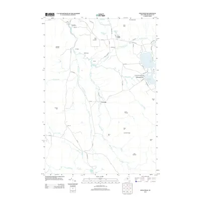
2013 Map of Owls Head
USGS Topo · Published 2013About this map
Salmon River headwaters define the character of this Franklin County landscape, winding past the settlements of Owls Head and Mountain View. The northern reaches are anchored by Saint Helen's Cem and Chasm Falls Methodist Cem, providing localized points for genealogical study near the river's bend. This 2013 survey documents a high-elevation environment where distinct ranges, including the Goldsmith Range and Owls Head Range, overlook a series of connected waterways such as Indian Lake and Mountain View Lake. The presence of High Falls and the tight bend known as Needles Eye reflects a complex drainage pattern that has historically shaped the placement of local roads like Wescott Meadow Rd and Barnesville Rd. Further south, the map identifies small clusters like Porcaville and isolated markers like the Hoose Cem, illustrating the sparse but persistent human footprint in this mountainous region.
Find a feature on this map
73 named features on this map. Tap any name to fly to it.
Don’t see what you’re looking for? This feature index may not catch every label — zoom into the map to look around manually.
Map Details
Editions of this 2013 Owls Head Map
This is the sole edition of this map. No revisions or reprints were ever made.
Other maps of this area

1906 · Loon Lake
USGS Topo · 1:62,500

1908 · Loon Lake
USGS Topo · 1:62,500

1915 · Chateaugay
USGS Topo · 1:62,500

1915 · Malone
USGS Topo · 1:62,500

1917 · Malone
USGS Topo · 1:62,500

1921 · Santa Clara
USGS Topo · 1:62,500

1923 · Santa Clara
USGS Topo · 1:62,500

1943 · Chateaugay
USGS Topo · 1:62,500

1948 · Ogdensburg
USGS Topo · 1:250,000

1951 · Ogdensburg
USGS Topo · 1:250,000