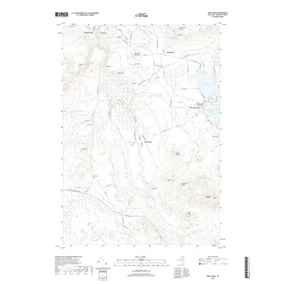
2019 Map of Owls Head
USGS Topo · Published 2019About this map
Chasm Falls and the surrounding Adirondack foothills define this landscape, where the Salmon River cuts through prominent peaks like Titusville Mtn and Owls Head. The terrain is marked by significant elevation changes, from the heights of the Goldsmith Range and Plumadore Range in the southeast to the marshy lowlands of Huckleberry Marsh and Oxbow. This geography dictated the placement of small settlements and transportation corridors, such as Co Rte 27 and Co HWY 41, which wind through the gaps between Studley Hill and Owls Head Pinnacle. For those researching local history or genealogy, the map identifies several significant burial grounds, including Chasm Falls Methodist Cem, Saint Helen's Cem, and Hoose Cem. These features, alongside landmarks like Needles Eye and High Falls, provide a clear picture of the community's relationship with the northern forest and river systems.
Find a feature on this map
90 named features on this map. Tap any name to fly to it.
Don’t see what you’re looking for? This feature index may not catch every label — zoom into the map to look around manually.
Map Details
Editions of this 2019 Owls Head Map
This is the sole edition of this map. No revisions or reprints were ever made.
Other maps of this area

1906 · Loon Lake
USGS Topo · 1:62,500

1908 · Loon Lake
USGS Topo · 1:62,500

1915 · Chateaugay
USGS Topo · 1:62,500

1915 · Malone
USGS Topo · 1:62,500

1917 · Malone
USGS Topo · 1:62,500

1921 · Santa Clara
USGS Topo · 1:62,500

1923 · Santa Clara
USGS Topo · 1:62,500

1943 · Chateaugay
USGS Topo · 1:62,500

1948 · Ogdensburg
USGS Topo · 1:250,000

1951 · Ogdensburg
USGS Topo · 1:250,000