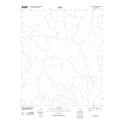
2010 Map of Ox Yoke Creek
USGS Topo · Published 2010About this map
South Wichita River meanders across the southern landscape of this King County quadrangle, defining the local drainage system as it joins with several northern tributaries. The terrain is characterized by a network of intermittent watercourses including Ox Yoke Creek, Bird Creek, and Dikes Creek, which carve through the plains. The presence of Jerrys Tank indicates the vital importance of water management in this cattle-ranching region of North Texas. Small ranch roads and tracks crisscross the area, connecting these remote water sources and providing access across the divides between Bitter Creek and the main river valley. This map reflects the enduring rural character of the Texas Rolling Plains, where the landscape is shaped primarily by these winding creek beds and the seasonal flow of the Wichita drainage basin.
Find a feature on this map
6 named features on this map. Tap any name to fly to it.
Don’t see what you’re looking for? This feature index may not catch every label — zoom into the map to look around manually.
Map Details
Editions of this 2010 Ox Yoke Creek Map
This is the sole edition of this map. No revisions or reprints were ever made.
Other maps of this area

1954 · Lubbock
USGS Topo · 1:250,000

1954 · Wichita Falls
USGS Topo · 1:250,000

1958 · Wichita Falls
USGS Topo · 1:250,000

1966 · Ox Yoke Creek
USGS Topo · 1:24,000

1966 · Chalk SW
USGS Topo · 1:24,000

1966 · Big Four Ranch
USGS Topo · 1:24,000

1966 · J Y Ranch
USGS Topo · 1:24,000

1966 · Maverick Flat
USGS Topo · 1:24,000

1966 · Lowrance Mountain
USGS Topo · 1:24,000

1967 · Cedar Mountain
USGS Topo · 1:24,000