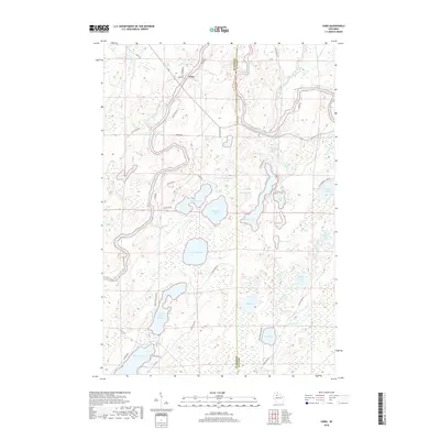
2018 Map of Oxbo
USGS Topo · Published 2018About this map
The Flambeau River defines the landscape of this Northwoods region, winding through the borderlands of Sawyer Co and Price Co. The small settlement of Oxbo serves as a central point for a web of local roads like Dog Patch Rd and Feleen Rd, which navigate a terrain characterized by an intricate network of wetlands and glacial lakes. Notable water features such as Connors Lake, Mason Lake, and the aptly named Swamp Lake dominate the southern and central sections, while Barnaby Rapids marks a significant point of interest on the river to the northeast.
Find a feature on this map
59 named features on this map. Tap any name to fly to it.
Don’t see what you’re looking for? This feature index may not catch every label — zoom into the map to look around manually.
Map Details
Editions of this 2018 Oxbo Map
This is the sole edition of this map. No revisions or reprints were ever made.
Other maps of this area

1941 · Kennan
USGS Topo · 1:48,000

1941 · Kennedy
USGS Topo · 1:48,000

1944 · Draper
USGS Topo · 1:48,000

1945 · Kennedy
USGS Topo · 1:48,000

1945 · Kennan
USGS Topo · 1:48,000

1945 · Ingram
USGS Topo · 1:48,000

1947 · Ingram
USGS Topo · 1:48,000

1947 · Draper
USGS Topo · 1:48,000

1953 · Rice Lake
USGS Topo · 1:250,000

1959 · Rice Lake
USGS Topo · 1:250,000