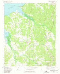
1980 Map of Oxford North
USGS Topo · Published 1981About this map
Sardis Lake defines the northwestern corner of this Lafayette County landscape, where the Hurricane Landing Public Use Area provides access to the shoreline near Abbeville. The southern portion of the sheet captures the northern reaches of Oxford, including the University-Oxford Airfield and a nearby golf course. The Illinois Central Gulf railroad serves as a central spine through the terrain, connecting the larger settlements with smaller points like College Hill Sta and French. This area is particularly rich in genealogical landmarks, featuring numerous family and church-affiliated burial grounds such as Buford Cem, Toby Tubby Cem, and Springfield Ch Cem. Several rural congregations, including Buford Chapel and North Oxford Ch, are scattered throughout the hills, illustrating the distribution of historic local communities before modern expansion.
Find a feature on this map
44 named features on this map. Tap any name to fly to it.
Don’t see what you’re looking for? This feature index may not catch every label — zoom into the map to look around manually.
Map Details
Editions of this 1980 Oxford North Map
2 editions found
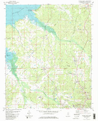
Other maps of this area

1940 · Oxford
USGS Topo · 1:62,500

1942 · Denmark
USGS Topo · 1:62,500

1943 · Denmark
USGS Topo · 1:62,500

1943 · Oxford
USGS Topo · 1:62,500

1944 · Tyro
USGS Topo · 1:62,500

1944 · Potts Camp
USGS Topo · 1:62,500

1945 · Potts Camp
USGS Topo · 1:62,500

1956 · Tupelo
USGS Topo · 1:250,000

1958 · Tupelo
USGS Topo · 1:250,000

1971 · Laws Hill
USGS Topo · 1:24,000