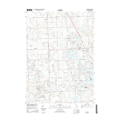
2014 Map of Oxford
USGS Topo · Published 2014About this map
Oxford serves as the central hub of this northern Oakland County landscape, characterized by an exceptionally dense concentration of small glacial lakes and kettle ponds. The area's suburban and recreational character is evident in the cluster of water bodies including Tan Lake, Long Lake, and Stony Lake, which are interspersed with residential developments like Waterstone and Walters. Local history and genealogy are well-represented by numerous burial sites, from the large Ridgelawn Memorial Cem and Oxford Township Cem near the town center to the outlying Oakwood Cem in the northwest. The presence of Willie Run Airport and a well-defined grid of thoroughfares like Oakwood Rd and Seymour Lake Rd illustrate the modern transportation infrastructure. To the south, the map captures the northern edge of Lake Orion Heights, where the S Br Flint River originates near Horseshoe Lake, marking a significant drainage divide for the region.
Find a feature on this map
70 named features on this map. Tap any name to fly to it.
Don’t see what you’re looking for? This feature index may not catch every label — zoom into the map to look around manually.
Map Details
Editions of this 2014 Oxford Map
This is the sole edition of this map. No revisions or reprints were ever made.
Other maps of this area

1907 · Pontiac
USGS Topo · 1:62,500

1908 · Rochester
USGS Topo · 1:62,500

1936 · Clarkston
USGS Topo · 1:31,680

1936 · Rochester
USGS Topo · 1:31,680

1936 · Pontiac North
USGS Topo · 1:31,680

1943 · Clarkston
USGS Topo · 1:24,000

1943 · Pontiac North
USGS Topo · 1:24,000

1943 · Ortonville
USGS Topo · 1:24,000

1943 · Lake Orion
USGS Topo · 1:24,000

1943 · Oxford
USGS Topo · 1:24,000
Featured Places
- Orion Charter Township, MI
- Independence Charter Township, MI
- Oxford Charter Township, MI
- Oxford, MI
- Lake Orion, MI