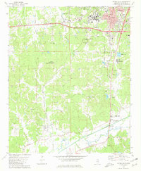
1980 Map of Oxford South
USGS Topo · Published 1981About this map
Univ of Miss and the southern expansion of Oxford anchor the northern reaches of this Lafayette County landscape. The mid-1970s terrain is characterized by a transition from the structured university grounds and growing residential areas into the Goose Valley and the wetlands bordering the Yocona River. To the southwest, the smaller settlement of Taylor sits along the Illinois Central Gulf rail line, serving as a secondary node of activity.
Find a feature on this map
53 named features on this map. Tap any name to fly to it.
Don’t see what you’re looking for? This feature index may not catch every label — zoom into the map to look around manually.
Map Details
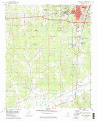
Editions of this 1980 Oxford South Map
2 editions found
Other maps of this area

1940 · Oxford
USGS Topo · 1:62,500

1942 · Denmark
USGS Topo · 1:62,500

1943 · Denmark
USGS Topo · 1:62,500

1943 · Oxford
USGS Topo · 1:62,500

1954 · Water Valley
USGS Topo · 1:62,500

1954 · Water Valley West
USGS Topo · 1:24,000

1955 · Water Valley
USGS Topo · 1:62,500

1956 · Tupelo
USGS Topo · 1:250,000

1958 · Tupelo
USGS Topo · 1:250,000

1972 · Paris
USGS Topo · 1:24,000