
1947 Map of Oxford
USGS Topo · Published 1953About this map
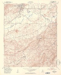
Anniston and Oxford serve as the primary hubs in this late 1940s survey of the Choccolocco Creek valley. The map documents a period of postwar development, featuring the Anniston Municipal Airport and the expansion of residential areas like Hobson City and McKibbin. Significant industrial and transportation infrastructure is evident along the Southern railroad line, while the Oxford Lake area appears as a central recreational point.
Find a feature on this map
48 named features on this map. Tap any name to fly to it.
Don’t see what you’re looking for? This feature index may not catch every label — zoom into the map to look around manually.
Map Details
Editions of this 1947 Oxford Map
2 editions found
Other maps of this area

1891 · Ashland
USGS Topo · 1:125,000

1900 · Anniston
USGS Topo · 1:125,000

1947 · Anniston
USGS Topo · 1:24,000

1947 · Eulaton
USGS Topo · 1:24,000

1947 · Munford
USGS Topo · 1:24,000

1950 · Anniston
USGS Topo · 1:62,500

1953 · Atlanta
USGS Topo · 1:250,000

1954 · Choccolocco
USGS Topo · 1:24,000

1956 · Munford
USGS Topo · 1:24,000

1956 · Oxford
USGS Topo · 1:24,000