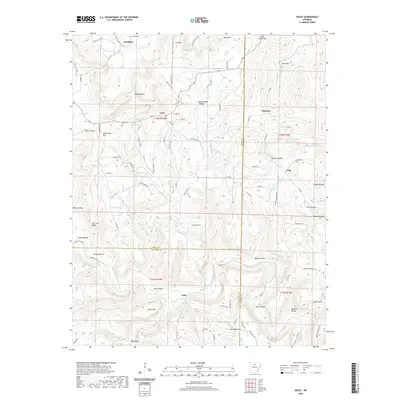
2020 Map of Oxley
USGS Topo · Published 2020About this map
Elba and the Middle Fork Little Red River anchor the southern portion of this landscape, where the terrain transitions from river bottoms to high elevations like Styles Mtn and Angora Mtn. This Arkansas Ozark territory is defined by its numerous hollows and steep bluffs, including Salt Cave Bluff and Fawn Bluff. The network of country roads connects high-elevation settlements like Oxley and Harness, following routes such as the Old Stagecoach road that speak to the region's historical transport patterns.
Find a feature on this map
98 named features on this map. Tap any name to fly to it.
Don’t see what you’re looking for? This feature index may not catch every label — zoom into the map to look around manually.
Map Details
Editions of this 2020 Oxley Map
This is the sole edition of this map. No revisions or reprints were ever made.
Other maps of this area

1892 · Marshall
USGS Topo · 1:125,000

1892 · Mountain View
USGS Topo · 1:125,000

1894 · Mountain View
USGS Topo · 1:125,000

1894 · Marshall
USGS Topo · 1:125,000

1901 · Marshall
USGS Topo · 1:125,000

1956 · Russellville
USGS Topo · 1:250,000
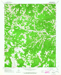
1963 · Harriet
USGS Topo · 1:24,000

1963 · Leslie
USGS Topo · 1:24,000

1964 · Russellville
USGS Topo · 1:250,000
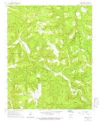
1965 · Botkinburg
USGS Topo · 1:24,000