Loading...
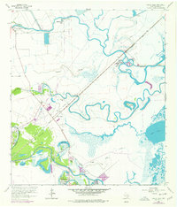
Loading map...1963 Map of Oyster Creek
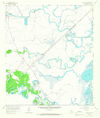
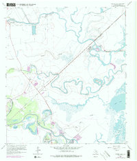
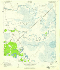
USGS Topo · Published 1977About this map
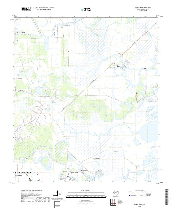
Stratton Ridge and the surrounding coastal marshlands define this landscape in the mid-1960s, a period marked by heavy industrial extraction and small settlements along the waterways. The area is dominated by the Stratton Ridge Oil Field, where a dense network of Salt Wells, Oil Wells, and Gas Wells punctuates the terrain. Transportation is anchored by the Missouri Pacific railroad, which cuts a straight line through the wetlands toward the settlement of Mims.
Find a feature on this map
33 named features on this map. Tap any name to fly to it.
Don’t see what you’re looking for? This feature index may not catch every label — zoom into the map to look around manually.
Map Details
Date Portrayed1963
Date Published1977
PublisherU.S. Geological Survey
Map TypeTopographic
Scale1:24,000
Physical Dimensions23 x 27 inches
Editions of this 1963 Oyster Creek Map
Historical Maps of Alvin Through Time
3 maps found
Featured Locations
Source Details
SourceU.S. Geological Survey
CopyrightPublic Domain