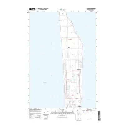
2014 Map of Oysterville
USGS Topo · Published 2014About this map
Willapa Bay and the Pacific Ocean border the narrow peninsula of the Long Beach Peninsula, where these coastal communities represent a legacy of maritime and agricultural industry. Oysterville stands as a primary settlement along the eastern shore, its grid reflecting the historical importance of the local shellfish trade. Further south, the community of Nahcotta sits adjacent to the Nahcotta Channel, serving as a gateway to the bay’s resources. The landscape is defined by its transition from the oceanfront dunes to the tidal wetlands of Espy Slough and Goulters Slough. Between these shores, local infrastructure includes Martin Airport and recreational sites like the Morehead Boys Camp. The northern reaches are more sparsely developed, characterized by the Bearberry Trail and Leadbetter Bay Loop Trail, which weave through the terrain near Stackpole Harbor and Hines.
Find a feature on this map
49 named features on this map. Tap any name to fly to it.
Don’t see what you’re looking for? This feature index may not catch every label — zoom into the map to look around manually.
Map Details
Editions of this 2014 Oysterville Map
This is the sole edition of this map. No revisions or reprints were ever made.
Other maps of this area

1938 · Cape Disappointment
USGS Topo · 1:62,500

1938 · Cape Shoalwater
USGS Topo · 1:62,500

1938 · Fort Columbia
USGS Topo · 1:62,500

1938 · South Bend
USGS Topo · 1:62,500

1940 · South Bend
USGS Topo · 1:62,500

1943 · Fort Columbia
USGS Topo · 1:62,500

1943 · Copalis Beach
USGS Topo · 1:250,000

1949 · Ocean Park
USGS Topo · 1:24,000

1949 · Long Island
USGS Topo · 1:24,000

1951 · Copalis Beach
USGS Topo · 1:250,000