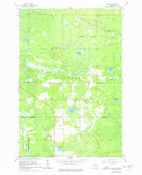
1964 Map of Ozark
USGS Topo · Published 1977About this map
Ozark and the surrounding timberlands of the Hiawatha and Mackinac State Forest define this 1964 survey of the Upper Peninsula, later revised with 1975 aerial data. The landscape is a network of small water bodies and wetlands, including Schlehubers Marsh, Boaz Lake, and the winding Pine River. Industrial and logistical traces are scattered throughout, from the Soo Line tracks to various Gravel Pits and a Quarry near the settlement.
Find a feature on this map
39 named features on this map. Tap any name to fly to it.
Don’t see what you’re looking for? This feature index may not catch every label — zoom into the map to look around manually.
Map Details
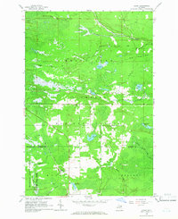
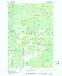
Editions of this 1964 Ozark Map
3 editions found
Other maps of this area

1931 · Epoufette SE
USGS Topo · 1:31,680

1931 · Epoufette NE
USGS Topo · 1:31,680

1931 · Ozark SE
USGS Topo · 1:31,680

1941 · Strongs
USGS Topo · 1:63,360

1951 · Strongs
USGS Topo · 1:24,000

1951 · Sullivan Creek
USGS Topo · 1:24,000

1951 · Eckerman
USGS Topo · 1:24,000

1951 · Strongs
USGS Topo · 1:62,500

1951 · Eckerman
USGS Topo · 1:62,500

1954 · Sault Sainte Marie
USGS Topo · 1:250,000