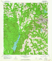
1960 Map of Ozark
USGS Topo · Published 1964About this map
Ozark serves as the bustling hub of this 1960s Alabama landscape, where the Atlantic Coast Line railroad and local schools like Smith High Sch anchor the growing community. To the southwest, the Fort Rucker Military Reservation dominates the terrain, featuring the expansive Lake Tholocco and the Hooper Field Tower. This area reflects a mid-century balance between a significant military presence and the traditional rural character of Dale County.
Find a feature on this map
38 named features on this map. Tap any name to fly to it.
Don’t see what you’re looking for? This feature index may not catch every label — zoom into the map to look around manually.
Map Details
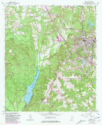
Editions of this 1960 Ozark Map
2 editions found
Other maps of this area

1942 · Enterprise
USGS Topo · 1:125,000

1948 · Ozark
USGS Topo · 1:62,500

1948 · Brundidge
USGS Topo · 1:62,500

1950 · Ozark
USGS Topo · 1:62,500

1950 · Enterprise
USGS Topo · 1:62,500

1950 · Brundidge
USGS Topo · 1:62,500

1953 · Dothan
USGS Topo · 1:250,000

1954 · Dothan
USGS Topo · 1:250,000

1955 · Dothan
USGS Topo · 1:250,000

1960 · Ewell
USGS Topo · 1:24,000