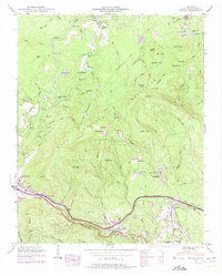
1946 Map of Ozone
USGS Topo · Published 1975About this map
Ozone and Crab Orchard anchor this mid-century survey of the Crab Orchard Mountains, where the Tennessee Central railroad and Walton Road follow the natural gaps of the terrain. The landscape is defined by its numerous family-named peaks and hollows, such as Ditney Knob, Wolf Knob, and McClough Hollow. The transition of the late 1960s is visible in purple revision layers, showing the construction of Interstate 40 as it cuts across the southern portion of the quadrangle, altering the path of the Old Walton Road. Along Daddys Creek, several river crossings including Frank Center Ford and Barnes Ford indicate older transportation routes that preceded modern bridging. Small settlements like Waldensia and The Glades are scattered among the ridges, often marked by local burial grounds such as Antioch Cem and Glade Cem, which remain vital landmarks for local family history and genealogical research.
Find a feature on this map
111 named features on this map. Tap any name to fly to it.
Don’t see what you’re looking for? This feature index may not catch every label — zoom into the map to look around manually.
Map Details
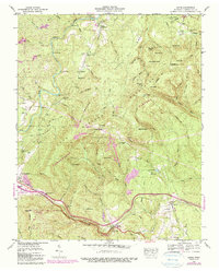
Editions of this 1946 Ozone Map
2 editions found
Other maps of this area

1887 · Kingston
USGS Topo · 1:125,000

1891 · Kingston
USGS Topo · 1:125,000

1893 · Kingston
USGS Topo · 1:125,000

1895 · Wartburg
USGS Topo · 1:125,000

1896 · Wartburg
USGS Topo · 1:125,000

1935 · Rockwood
USGS Topo · 1:24,000

1935 · Lancing
USGS Topo · 1:24,000

1936 · Hebbertsburg
USGS Topo · 1:24,000

1936 · Fox Creek
USGS Topo · 1:24,000

1936 · Roddy
USGS Topo · 1:24,000