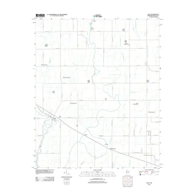
2012 Map of Pace
USGS Topo · Published 2012About this map
Pace stands as a central point in this agricultural landscape of the Mississippi Delta, where the grid of drainage ditches and plantation roads defines the terrain. The community is anchored by local landmarks such as El Bethel Cem and sits just north of the rail corridor passing through Victor. This survey provides a look at the deeply partitioned land, where numbered waterways like Ditch Number Eighteen and Ditch Number Seven work alongside natural features like Snake Cr and Bogue Phalia to manage the alluvial plain. Genealogists will find several burial sites preserved among the fields, including the Smith and Williams Cem near Sixmile Lake and the Saint Peter Cem. The southeastern corner transitions toward the city of Cleveland, shown by the location of the Cleveland Municipal Airport and the Bolivar County Farm.
Find a feature on this map
76 named features on this map. Tap any name to fly to it.
Don’t see what you’re looking for? This feature index may not catch every label — zoom into the map to look around manually.
Map Details
Editions of this 2012 Pace Map
This is the sole edition of this map. No revisions or reprints were ever made.
Other maps of this area

1931 · Drew
USGS Topo · 1:48,000

1934 · Cleveland
USGS Topo · 1:62,500

1935 · Mound Bayou
USGS Topo · 1:62,500

1939 · Pace
USGS Topo · 1:62,500

1939 · Choctaw
USGS Topo · 1:62,500

1940 · Cleveland
USGS Topo · 1:62,500

1953 · Greenwood
USGS Topo · 1:250,000

1956 · Greenwood
USGS Topo · 1:250,000
1966 · Merigold
USGS Topo · 1:24,000

1966 · Cleveland
USGS Topo · 1:24,000