
1920 Map of Pacheco Pass
USGS Topo · Published 1920About this map
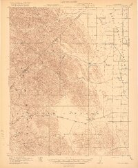
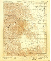
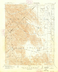
Pacheco Pass serves as the primary gateway through the Diablo Range, connecting the coastal mountains to the broad San Joaquin Valley. This 1920 edition documents the early infrastructure of the region, including the Pacheco Pass Road winding through the hills and the industrial presence of the Shell Pumping Sta. The landscape is defined by its transition from high summits like Crevison Peak and Hagerman Peak down to the alluvial plains where early educational and community hubs like Occidental School, Cottonwood School, and the Cottonwood Church were established.
Find a feature on this map
45 named features on this map. Tap any name to fly to it.
Don’t see what you’re looking for? This feature index may not catch every label — zoom into the map to look around manually.
Map Details
Editions of this 1920 Pacheco Pass Map
4 editions found
Other maps of this area

1913 · Panoche
USGS Topo · 1:125,000

1917 · Newman
USGS Topo · 1:31,680

1918 · Gustine
USGS Topo · 1:31,680

1919 · Orestimba
USGS Topo · 1:62,500

1919 · Orestimba Creek
USGS Topo · 1:31,680

1919 · Hollister
USGS Topo · 1:48,000

1919 · Ingomar
USGS Topo · 1:31,680

1920 · Carrisalito Spring
USGS Topo · 1:31,680

1921 · Volta
USGS Topo · 1:31,680

1921 · Gilroy Hot Springs
USGS Topo · 1:62,500