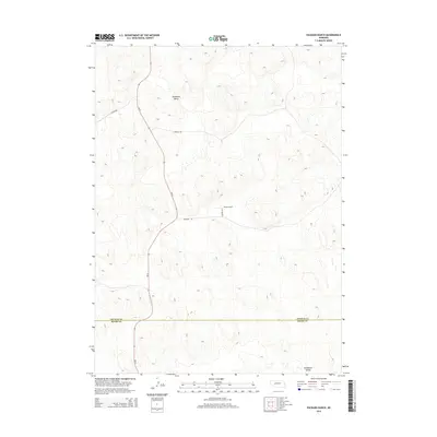
2014 Map of Packard Ranch
USGS Topo · Published 2014About this map
Thoelecke Valley and Wildhorse Valley characterize this section of the Nebraska Sandhills, where the landscape is defined by its dramatic topographic relief and sparse, purposeful settlement. At the center of this rural network lies Packard Ranch, an namesake landmark positioned among a series of local connectors including Packard Rd and Tolford Rd. The region’s connectivity is anchored by Ne-61, which snakes through the western portion of the terrain, providing a vital north-south link through these isolated valleys.
Find a feature on this map
9 named features on this map. Tap any name to fly to it.
Don’t see what you’re looking for? This feature index may not catch every label — zoom into the map to look around manually.
Map Details
Editions of this 2014 Packard Ranch Map
This is the sole edition of this map. No revisions or reprints were ever made.
Other maps of this area

1897 · Ogallala
USGS Topo · 1:125,000

1900 · Ogallala
USGS Topo · 1:125,000

1949 · Arthur
USGS Topo · 1:62,500

1950 · Velma
USGS Topo · 1:62,500

1950 · Arthur
USGS Topo · 1:62,500

1954 · North Platte
USGS Topo · 1:250,000

1956 · North Platte
USGS Topo · 1:250,000

1957 · North Platte
USGS Topo · 1:250,000

1967 · North Platte
USGS Topo · 1:250,000

1971 · Martin
USGS Topo · 1:24,000