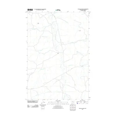
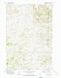
2011 Map of Padlock Ranch
USGS Topo · Published 2011About this map
Padlock Ranch serves as the central focal point of this Big Horn County landscape, situated where the meandering Tullock Creek flows through the central valley. The terrain is defined by a series of drainages and prominent relief, including Gracy Butte in the northwest and the Red Hills to the east. This 2011 survey reveals a typical Western ranching layout, where local transportation relies on routes like Sarpy Rd and County Rd 57 to navigate the undulating ground between numerous waterways.
Find a feature on this map
16 named features on this map. Tap any name to fly to it.
Don’t see what you’re looking for? This feature index may not catch every label — zoom into the map to look around manually.
Map Details
Editions of this 2011 Padlock Ranch Map
This is the sole edition of this map. No revisions or reprints were ever made.
Other maps of this area

1954 · Hardin
USGS Topo · 1:250,000

1957 · Hardin
USGS Topo · 1:250,000

1958 · Hardin
USGS Topo · 1:250,000

1967 · Jeans Fork NW
USGS Topo · 1:24,000

1967 · Crow Agency NE
USGS Topo · 1:24,000
1967 · Little Dry Creek
USGS Topo · 1:24,000
1972 · The Dugout
USGS Topo · 1:24,000

1972 · Hammond Ranch
USGS Topo · 1:24,000
1972 · Iron Spring
USGS Topo · 1:24,000
1972 · Padlock Ranch
USGS Topo · 1:24,000