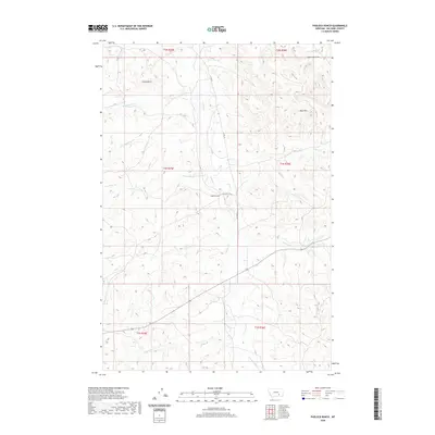
2020 Map of Padlock Ranch
USGS Topo · Published 2020About this map
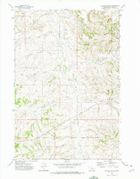
Padlock Ranch serves as the central landmark of this Big Horn County landscape, where the drainage network of Tullock Cr and its various branches define the area's geography. The map detail highlights a complex system of waterways, including Lazy Man Cr, Plum Cr, and the intersecting W Cabin Cr and E Cabin Cr. These features, alongside the elevated Gracy Butte and the Red Hills, provide a clear picture of the natural topography used for ranching operations. Modern infrastructure is represented by CTY RD 57 and N Tullock Cir RD, which provide access through the rolling terrain. The survey captures the spatial relationship between traditional land use and the underlying hydrography of the region, from Big Meadow Cr in the north to Dawes Cr in the south.
Find a feature on this map
22 named features on this map. Tap any name to fly to it.
Don’t see what you’re looking for? This feature index may not catch every label — zoom into the map to look around manually.
Map Details
Editions of this 2020 Padlock Ranch Map
This is the sole edition of this map. No revisions or reprints were ever made.
Other maps of this area

1954 · Hardin
USGS Topo · 1:250,000

1957 · Hardin
USGS Topo · 1:250,000

1958 · Hardin
USGS Topo · 1:250,000

1967 · Jeans Fork NW
USGS Topo · 1:24,000

1967 · Crow Agency NE
USGS Topo · 1:24,000
1967 · Little Dry Creek
USGS Topo · 1:24,000
1972 · The Dugout
USGS Topo · 1:24,000

1972 · Hammond Ranch
USGS Topo · 1:24,000
1972 · Iron Spring
USGS Topo · 1:24,000
1972 · Padlock Ranch
USGS Topo · 1:24,000