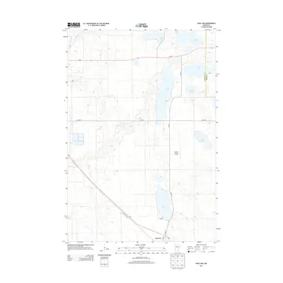
2013 Map of Page Lake
USGS Topo · Published 2013About this map
Hancock anchors the southwestern corner of this West Central Minnesota landscape, situated where MN-9 and the Old Hwy 9-Twp Rd meet. The area is defined by a glacial chain of lakes and wetlands that span the boundary between Stevens Co and Pope Co. This hydrographic network includes several prominent bodies of water such as Long Lake, Lake Charlotte, and the namesake Page Lake.
Find a feature on this map
19 named features on this map. Tap any name to fly to it.
Don’t see what you’re looking for? This feature index may not catch every label — zoom into the map to look around manually.
Map Details
Editions of this 2013 Page Lake Map
This is the sole edition of this map. No revisions or reprints were ever made.
Other maps of this area

1912 · Morris
USGS Topo · 1:62,500

1953 · Saint Cloud
USGS Topo · 1:250,000

1957 · Saint Cloud
USGS Topo · 1:250,000

1958 · Saint Cloud
USGS Topo · 1:250,000

1968 · Cyrus
USGS Topo · 1:24,000

1968 · Hancock
USGS Topo · 1:24,000

1968 · Starbuck NW
USGS Topo · 1:24,000
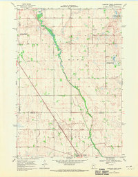
1968 · Clontarf North
USGS Topo · 1:24,000
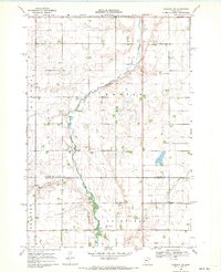
1968 · Hancock NW
USGS Topo · 1:24,000
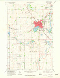
1973 · Morris
USGS Topo · 1:24,000