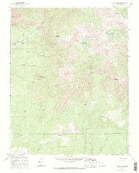
1964 Map of Pagosa Peak
USGS Topo · Published 1968About this map
Pagosa Peak dominates the center of this 1960s survey, a prominent summit within the San Juan National Forest that serves as a focal point for the surrounding high-country drainages. The landscape is defined by the headwaters of the Piedra River and its various forks, including the North Fork Little Pagosa Creek and Little Pagosa Creek. Human activity is sparse and largely concentrated around private holdings like Minor Notch Ranch and Cade Ranch, reflecting a landscape geared toward seasonal ranching and outdoor recreation, complete with a high-altitude Golf Course near Arrowhead Lake.
Find a feature on this map
57 named features on this map. Tap any name to fly to it.
Don’t see what you’re looking for? This feature index may not catch every label — zoom into the map to look around manually.
Map Details
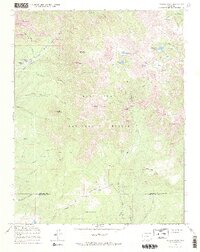
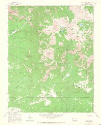
Editions of this 1964 Pagosa Peak Map
3 editions found
Other maps of this area

1905 · San Cristobal
USGS Topo · 1:125,000

1907 · San Cristobal
USGS Topo · 1:125,000

1913 · Summitville
USGS Topo · 1:125,000

1914 · Creede
USGS Topo · 1:125,000

1915 · Summitville
USGS Topo · 1:125,000

1916 · Creede
USGS Topo · 1:125,000

1924 · Pagosa Springs
USGS Topo · 1:125,000

1927 · Pagosa Springs
USGS Topo · 1:125,000

1945 · Durango
USGS Topo · 1:250,000

1953 · Durango
USGS Topo · 1:250,000