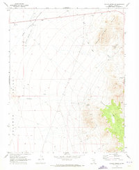
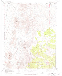
1970 Map of Pahroc Spring SE
USGS Topo · Published 1973About this map
Dry Lake Valley (Depression) and the Delamar Valley dominate this arid landscape, separated by the elevated reaches of the Burnt Springs Range. Surveyed in 1970, the map illustrates a terrain where water is the primary driver of naming and movement, featuring isolated water sources like Seven Oaks Spring, Red Rock Spring, and Grassy Spring. The presence of an Aqueduct cutting through the center of the sheet highlights the critical management of resources in this Lincoln County desert.
Find a feature on this map
16 named features on this map. Tap any name to fly to it.
Don’t see what you’re looking for? This feature index may not catch every label — zoom into the map to look around manually.
Map Details
Editions of this 1970 Pahroc Spring SE Map
2 editions found
Other maps of this area

1885 · Pioche
USGS Topo · 1:250,000

1886 · Pioche
USGS Topo · 1:250,000

1954 · Caliente
USGS Topo · 1:250,000

1959 · Caliente
USGS Topo · 1:250,000

1969 · Delamar
USGS Topo · 1:24,000

1969 · Slidy Mountain
USGS Topo · 1:24,000

1969 · Delamar NW
USGS Topo · 1:24,000
1970 · Pahroc Summit Pass
USGS Topo · 1:24,000
1970 · Pahroc Spring NE
USGS Topo · 1:24,000
1970 · Caliente NW
USGS Topo · 1:24,000