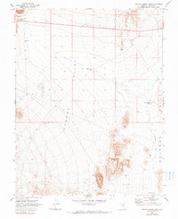
1970 Map of Pahroc Summit Pass
USGS Topo · Published 1990About this map
Pahroc Summit Pass serves as the primary gateway through the high terrain of southeastern Nevada, providing a critical transit point between the expansive Pahroc Valley and Delamar Valley. This 1970 survey, based on aerial photography from the late 1960s, documents a landscape shaped by water management and basic industrial exploration. Small reservoirs like White Sage Res and Knoll Pond Res are scattered across the valley floors, highlighting the infrastructure necessary for life and ranching in this arid basin.
Find a feature on this map
11 named features on this map. Tap any name to fly to it.
Don’t see what you’re looking for? This feature index may not catch every label — zoom into the map to look around manually.
Map Details
Editions of this 1970 Pahroc Summit Pass Map
2 editions found
Other maps of this area

1885 · Pioche
USGS Topo · 1:250,000

1886 · Pioche
USGS Topo · 1:250,000

1945 · Alamo
USGS Topo · 1:125,000

1954 · Caliente
USGS Topo · 1:250,000

1959 · Caliente
USGS Topo · 1:250,000

1969 · Delamar
USGS Topo · 1:24,000

1969 · Alamo NE
USGS Topo · 1:24,000

1969 · Delamar NW
USGS Topo · 1:24,000

1970 · Hiko NE
USGS Topo · 1:24,000
1970 · Pahroc Summit Pass
USGS Topo · 1:24,000