2022 Map of Paige
USGS Topo · Published 2022About this map
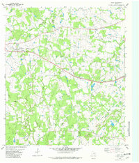
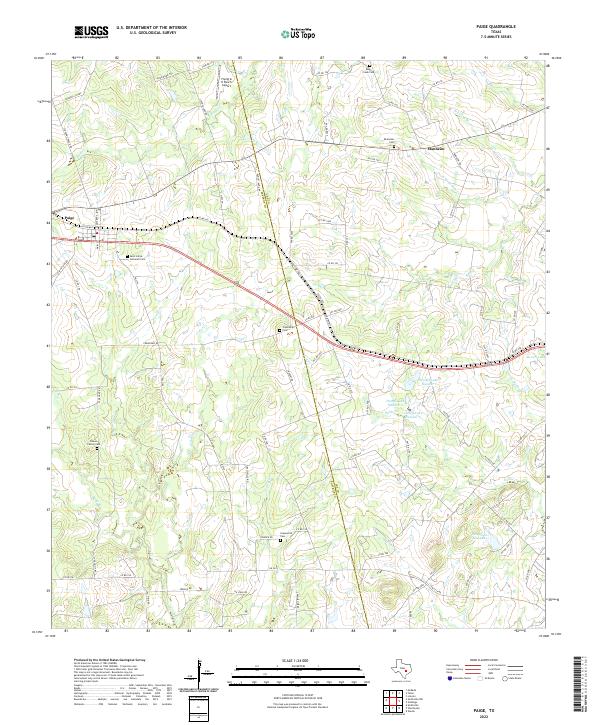
Paige and Manheim serve as the primary settlement markers in this region along the Lee and Bastrop county line. The landscape is defined by a dense network of family-associated cemeteries and small watercourses, suggesting a long history of rural community life and decentralized homesteads. Local history is etched into the terrain through sites like Saint Johns Lutheran Cem and Ebenezer Cem, while the inclusion of the Brown Family Cem highlights the genealogical depth of the area. The drainage pattern is complex, with Cedar Cr, Rabbs Cr, and Schilling Br carving through the countryside. Near the eastern edge, a series of private reservoirs including Hamff Lake Number 1 and Domaschk-Biar Lake indicate land management for ranching or recreation, contrasting with the aviation infrastructure at the Flying G H Ranch Airport.
Find a feature on this map
88 named features on this map. Tap any name to fly to it.
Don’t see what you’re looking for? This feature index may not catch every label — zoom into the map to look around manually.
Map Details
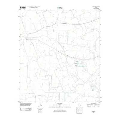
Editions of this 2022 Paige Map
This is the sole edition of this map. No revisions or reprints were ever made.
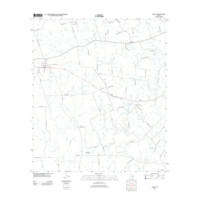
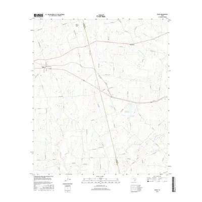
Historical Maps of Manheim Through Time
6 maps found