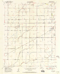
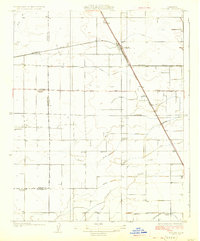
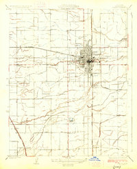
1950 Map of Paige
USGS Topo · Published 1958About this map
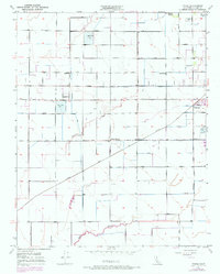
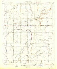
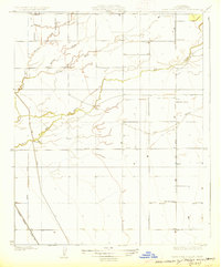
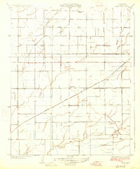
The agricultural landscape of Tulare County during the mid-century reveals a sophisticated network of water management and rural social hubs. The small settlement of Paige serves as a central point, situated along the Santa Fe rail line. The surrounding territory is defined by an intricate system of irrigation, including the Tulare Canal, Hooper Ditch, and Kaweah Canal, which diverted water across the flat valley floor to support local farms. Natural waterways like Packwood Creek and Bates Slough weave through the gridded road system, while several percolation basins indicate early efforts in groundwater recharge.
Find a feature on this map
36 named features on this map. Tap any name to fly to it.
Don’t see what you’re looking for? This feature index may not catch every label — zoom into the map to look around manually.
Map Details
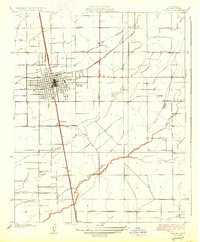
Editions of this 1950 Paige Map
2 editions found
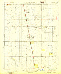
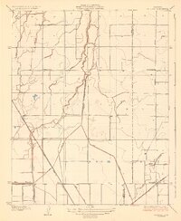
Other maps of this area
1925 · Tulare
USGS Topo · 1:31,680
1925 · Tipton
USGS Topo · 1:31,680
1926 · Goshen
USGS Topo · 1:31,680
1927 · Remnoy
USGS Topo · 1:31,680
1927 · Lake View School
USGS Topo · 1:31,680
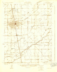
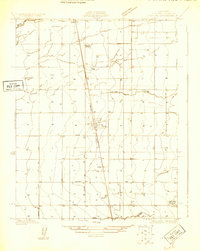
1927 · Paige
USGS Topo · 1:31,680
1927 · Visalia
USGS Topo · 1:31,680
1927 · Tulare
USGS Topo · 1:31,680
1928 · Tipton
USGS Topo · 1:31,680
1928 · Waukena
USGS Topo · 1:31,680