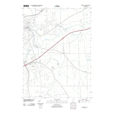
2010 Map of Painesville
USGS Topo · Published 2010About this map
The Grand River snakes through the northern portion of this landscape, carving a deep valley that separates Painesville from the residential developments of Avery Terrace and Lusard Place. This era shows a community balancing suburban expansion with historical preservation, evidenced by the high density of burial grounds like Evergreen Cemetery and Riverside Cemetery near the urban center. To the south, the terrain becomes increasingly marked by the tributaries of Big Creek and Paine Creek, where land use shifts toward recreation and specialized facilities. Notable landmarks including the Casement Golf Course, Concord Airpark, and Camp Klein illustrate the mid-century development of the Concord area. Deep ravines such as Pease Hollow and the notable Cascade Falls highlight the natural drainages feeding into the Lake Erie basin, while Indian Point remains a prominent topographic feature overlooking the river's bend.
Find a feature on this map
78 named features on this map. Tap any name to fly to it.
Don’t see what you’re looking for? This feature index may not catch every label — zoom into the map to look around manually.
Map Details
Editions of this 2010 Painesville Map
This is the sole edition of this map. No revisions or reprints were ever made.
Other maps of this area

1904 · Chardon
USGS Topo · 1:62,500

1905 · Perry
USGS Topo · 1:62,500

1905 · Mentor
USGS Topo · 1:62,500

1906 · Chardon
USGS Topo · 1:62,500

1907 · Mentor
USGS Topo · 1:62,500

1950 · Cleveland
USGS Topo · 1:250,000

1953 · Chardon
USGS Topo · 1:24,000

1953 · Chesterland
USGS Topo · 1:24,000

1953 · Mentor
USGS Topo · 1:24,000

1956 · Cleveland
USGS Topo · 1:250,000