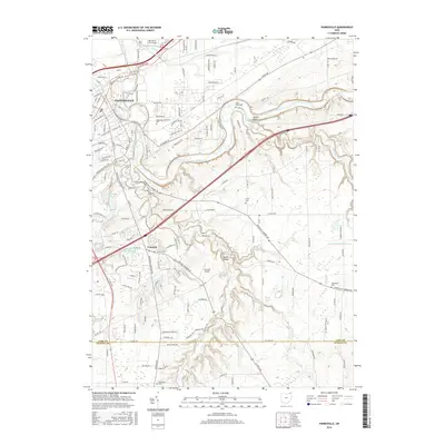
2016 Map of Painesville
USGS Topo · Published 2016About this map
The Grand River meanders through the heart of Lake County, carving a dramatic valley between Painesville and Concord. This landscape is defined by the steep ravines and tributaries feeding the river, including Paine Creek and Big Creek. The area retains significant genealogical landmarks through its numerous burial grounds, such as Evergreen Cem and Riverside Cem in the north, and Huntoon Cem and Concord Cem further south.
Find a feature on this map
147 named features on this map. Tap any name to fly to it.
Don’t see what you’re looking for? This feature index may not catch every label — zoom into the map to look around manually.
Map Details
Editions of this 2016 Painesville Map
This is the sole edition of this map. No revisions or reprints were ever made.
Other maps of this area

1904 · Chardon
USGS Topo · 1:62,500

1905 · Perry
USGS Topo · 1:62,500

1905 · Mentor
USGS Topo · 1:62,500

1906 · Chardon
USGS Topo · 1:62,500

1907 · Mentor
USGS Topo · 1:62,500

1950 · Cleveland
USGS Topo · 1:250,000

1953 · Chardon
USGS Topo · 1:24,000

1953 · Chesterland
USGS Topo · 1:24,000

1953 · Mentor
USGS Topo · 1:24,000

1956 · Cleveland
USGS Topo · 1:250,000