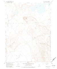
1966 Map of Painted Point
USGS Topo · Published 1982About this map
Painted Point rises as a central landmark in this high-desert region of Washoe County, surveyed in the mid-1960s. The landscape is defined by the significant Long Valley (Depression), where topography sinks into a vast catchment basin. This arid environment is punctuated by vital water sources such as Sand Spring, Lone Spring, and the clustered Twin Springs, which likely served as crucial landmarks for range travel and wildlife. To the north, the terrain transitions into the seasonal basins of West Lake and Middle Lake. The network of Jeep Trails winding through the Black Hills and toward The Dip illustrates a remote territory where movement was dictated by the harsh contours of the land and the location of reliable springs.
Find a feature on this map
15 named features on this map. Tap any name to fly to it.
Don’t see what you’re looking for? This feature index may not catch every label — zoom into the map to look around manually.
Map Details
Editions of this 1966 Painted Point Map
2 editions found
Other maps of this area

1889 · Long Valley
USGS Topo · 1:250,000

1954 · Vya
USGS Topo · 1:250,000

1958 · Vya
USGS Topo · 1:250,000

1962 · Vya
USGS Topo · 1:250,000

1966 · Massacre Lake NW
USGS Topo · 1:24,000

1966 · Vya
USGS Topo · 1:24,000

1966 · Massacre Lake
USGS Topo · 1:24,000

1966 · Alkali Lake
USGS Topo · 1:24,000

1966 · Massacre Creek
USGS Topo · 1:24,000

1966 · Painted Point
USGS Topo · 1:24,000