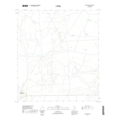
2019 Map of Paisano Lake
USGS Topo · Published 2019About this map
Canales Cem sits alone in a landscape defined by seasonal drainages and vital ranching water sources along the border of Kleberg and Brooks counties. This South Texas terrain is marked by the branching paths of Radicha Cr and Salado Cr, which feed into various impoundments and depressions. The presence of named water features like Cuatro de Julio Waterhole and El Perdido Waterhole highlights the historical and practical importance of specific watering points in this arid region. Near the center of the sheet, Canelo Lake provides a focal point for the surrounding network of local roads and property boundaries. Further south, Reservoir Number 1 and Paisano Cr reflect the managed hydraulic environment common to large Texas landholdings, where natural creek beds are often modified for water storage and livestock.
Find a feature on this map
9 named features on this map. Tap any name to fly to it.
Don’t see what you’re looking for? This feature index may not catch every label — zoom into the map to look around manually.
Map Details
Editions of this 2019 Paisano Lake Map
This is the sole edition of this map. No revisions or reprints were ever made.
Other maps of this area

1921 · Falfurrias
USGS Topo · 1:125,000

1928 · Sarita
USGS Topo · 1:125,000

1950 · Corpus Christi
USGS Topo · 1:250,000

1954 · Sarita
USGS Topo · 1:62,500

1954 · Riviera
USGS Topo · 1:62,500

1956 · Corpus Christi
USGS Topo · 1:250,000

1956 · Laredo
USGS Topo · 1:250,000

1960 · Corpus Christi
USGS Topo · 1:250,000

1963 · Flowella
USGS Topo · 1:24,000
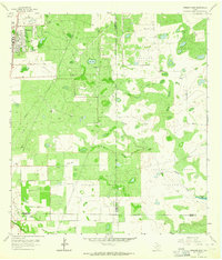
1963 · Premont East
USGS Topo · 1:24,000