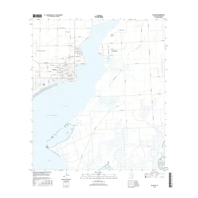
2016 Map of Palacios
USGS Topo · Published 2016About this map
Palacios anchors the western shore where the coastal prairie meets the deep indentations of the Texas coastline. This 2016 survey shows a detailed street grid including Main St, Commerce St, and Newsome Blvd, reflecting its growth as a bayfront hub. Across the waters of Tres Palacios Bay, the settlement of Collegeport sits near the mouth of Pilkington Bayou, preserving a quieter, more rural character marked by the Collegeport Cem and the rise of Pepper Hill.
Find a feature on this map
58 named features on this map. Tap any name to fly to it.
Don’t see what you’re looking for? This feature index may not catch every label — zoom into the map to look around manually.
Map Details
Editions of this 2016 Palacios Map
This is the sole edition of this map. No revisions or reprints were ever made.
Other maps of this area

1952 · Palacios SE
USGS Topo · 1:24,000

1952 · Palacios Point
USGS Topo · 1:24,000

1952 · Blessing SE
USGS Topo · 1:24,000

1952 · Palacios
USGS Topo · 1:24,000

1952 · Turtle Bay
USGS Topo · 1:24,000

1952 · Francitas
USGS Topo · 1:24,000

1952 · Blessing
USGS Topo · 1:24,000

1952 · Palacios NE
USGS Topo · 1:24,000

1953 · Beeville
USGS Topo · 1:250,000

1956 · Beeville
USGS Topo · 1:250,000