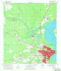
1968 Map of Palatka
USGS Topo · Published 1971About this map
The St Johns River defines the eastern edge of this late 1960s landscape, where the bustling center of Palatka meets a complex network of industrial and natural water systems. The map captures a transitional era for the city, showing significant academic and recreational development such as St Johns River Jr College and the sprawling Ravine Gardens State Park. Industrial growth is evident north of the city near Rice Creek, where Industrial Waste Ponds and a Filtration Plant stand alongside the railroad tracks of the Southern Railway.
Find a feature on this map
48 named features on this map. Tap any name to fly to it.
Don’t see what you’re looking for? This feature index may not catch every label — zoom into the map to look around manually.
Map Details
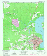
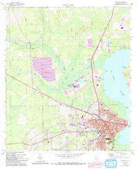
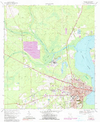
Editions of this 1968 Palatka Map
4 editions found
Other maps of this area

1912 · Palatka
USGS Topo · 1:48,000

1915 · Palatka
USGS Topo · 1:62,500

1915 · Interlachen
USGS Topo · 1:48,000

1916 · Interlachen
USGS Topo · 1:62,500

1942 · Ates Creek
USGS Topo · 1:62,500

1944 · Interlachen
USGS Topo · 1:62,500

1947 · Bostwick
USGS Topo · 1:50,000

1949 · Rice Creek
USGS Topo · 1:24,000

1949 · Bostwick
USGS Topo · 1:24,000

1949 · Baywood
USGS Topo · 1:24,000