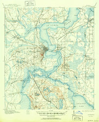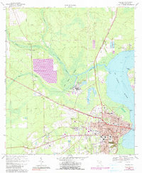
1968 Map of Palatka
USGS Topo · Published 1999About this map
The St Johns River defines the eastern edge of this late 1960s landscape, where the bustling activity of Palatka meets the industrial and agricultural corridors of Putnam County. The city center is dense with historic infrastructure, including the Central Academy High Sch, Mellon Sch, and Putnam Memorial Hospital, while the southern reaches feature the cultivated landscapes of Ravine Gardens State Park. Transportation networks like the Georgia Southern and Florida and Seaboard Coast Line railroads illustrate the region's historical reliance on rail for commerce.
Find a feature on this map
54 named features on this map. Tap any name to fly to it.
Don’t see what you’re looking for? This feature index may not catch every label — zoom into the map to look around manually.
Map Details
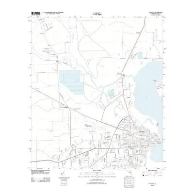
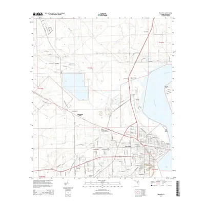
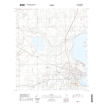
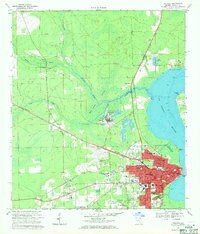
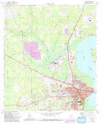
Editions of this 1968 Palatka Map
4 editions found

Historical Maps of Palatka Through Time
8 maps found