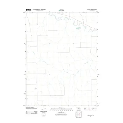
2011 Map of Palisade SW
USGS Topo · Published 2011About this map
Pleasant Ridge Cemetery stands as a quiet focal point in this section of Southwest Nebraska, reflecting the enduring presence of local families in Hitchcock County. The landscape is defined by the winding course of Frenchman Creek, which cuts across the northern edge of the terrain, and the drainage systems of Bobtail Creek and Camp Creek further south.
Find a feature on this map
12 named features on this map. Tap any name to fly to it.
Don’t see what you’re looking for? This feature index may not catch every label — zoom into the map to look around manually.
Map Details
Editions of this 2011 Palisade SW Map
This is the sole edition of this map. No revisions or reprints were ever made.
Other maps of this area

1954 · McCook
USGS Topo · 1:250,000

1957 · McCook
USGS Topo · 1:250,000

1958 · McCook
USGS Topo · 1:250,000

1962 · Trenton
USGS Topo · 1:24,000

1962 · Stratton
USGS Topo · 1:24,000

1962 · Max NE
USGS Topo · 1:24,000

1973 · Palisade
USGS Topo · 1:24,000

1973 · Palisade SW
USGS Topo · 1:24,000

1973 · Wauneta SE
USGS Topo · 1:24,000

1974 · Hamlet
USGS Topo · 1:24,000