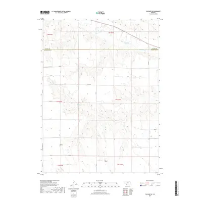
2017 Map of Palisade SW
USGS Topo · Published 2017About this map
Frenchman Creek winds across the northern reaches of this Hitchcock County landscape, where the Hayes Co and Hitchcock Co border is clearly delineated. The terrain is defined by an intricate network of drainages and canyons, most notably Dry Canyon and the winding course of Bobtail Cr. These watercourses have carved deep into the Nebraska plains, creating a rugged topography that contrasts with the geometric precision of the township and range grid system. Near the southern boundary, the Pleasant Ridge Cem serves as a significant landmark for local history and genealogy research. The area's water management is evidenced by the Krotter-Rice Reservoir in the northeast, while the local transportation network is anchored by the Veterans Memorial Hwy and numerous county roads like RD 353 and Co Rd 724 that follow the section lines.
Find a feature on this map
34 named features on this map. Tap any name to fly to it.
Don’t see what you’re looking for? This feature index may not catch every label — zoom into the map to look around manually.
Map Details
Editions of this 2017 Palisade SW Map
This is the sole edition of this map. No revisions or reprints were ever made.
Other maps of this area

1954 · McCook
USGS Topo · 1:250,000

1957 · McCook
USGS Topo · 1:250,000

1958 · McCook
USGS Topo · 1:250,000

1962 · Trenton
USGS Topo · 1:24,000

1962 · Stratton
USGS Topo · 1:24,000

1962 · Max NE
USGS Topo · 1:24,000

1973 · Palisade
USGS Topo · 1:24,000

1973 · Palisade SW
USGS Topo · 1:24,000

1973 · Wauneta SE
USGS Topo · 1:24,000

1974 · Hamlet
USGS Topo · 1:24,000