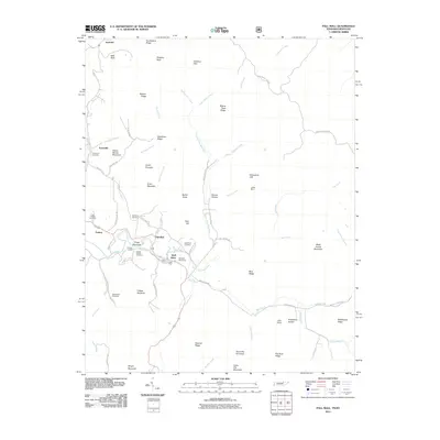
2011 Map of Pall Mall
USGS Topo · Published 2011About this map
The Wolf River meanders through this portion of Pickett County, defining the valley where the community of Pall Mall is situated. This area is characterized by a high concentration of small family and community burial grounds, such as Upchurch Cemetery and Reed Creek Cemetery, which offer valuable data points for genealogical research in this rural Tennessee landscape. The Pall Mall Post Office and the nearby Frogge Chapel serve as local landmarks within the valley, while the surrounding terrain rises into prominent features like Honey Spring Mountain and Arion Mountain. Industrial activity is noted by the presence of the Leffew Mine, located along the river. Numerous small waterways, including Rotten Fork Wolf River and Pogue Creek, dissect the ridges and hollows, illustrating the complex drainage patterns that have historically shaped local settlement and road networks like Bob Upchurch Rd.
Find a feature on this map
76 named features on this map. Tap any name to fly to it.
Don’t see what you’re looking for? This feature index may not catch every label — zoom into the map to look around manually.
Map Details
Editions of this 2011 Pall Mall Map
This is the sole edition of this map. No revisions or reprints were ever made.
Other maps of this area

1895 · Wartburg
USGS Topo · 1:125,000

1896 · Wartburg
USGS Topo · 1:125,000

1897 · Standingstone
USGS Topo · 1:125,000

1898 · Standingstone
USGS Topo · 1:125,000

1929 · Byrdstown
USGS Topo · 1:62,500

1934 · Pall Mall
USGS Topo · 1:62,500

1954 · Stockton
USGS Topo · 1:24,000

1954 · Parmleysville
USGS Topo · 1:24,000

1954 · Jamestown
USGS Topo · 1:24,000

1954 · Savage
USGS Topo · 1:24,000