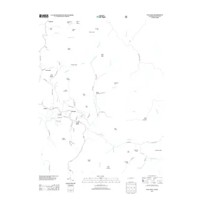
2013 Map of Pall Mall
USGS Topo · Published 2013About this map
Wolf River and its various branches, including the Rotten Fork Wolf River and Brooks Cr, carve a complex network of valleys through this portion of the Cumberland Plateau. The settlement of Pall Mall serves as a central point in a landscape defined by steep ridges and isolated peaks like Lynch Pinnacle and Arion Mountain. This 2013 survey illustrates the enduring rural character of the region, where family names are etched into the geography through landmarks like Wayne Trace Ridge and infrastructure such as Reed Cemetery Rd.
Find a feature on this map
85 named features on this map. Tap any name to fly to it.
Don’t see what you’re looking for? This feature index may not catch every label — zoom into the map to look around manually.
Map Details
Editions of this 2013 Pall Mall Map
This is the sole edition of this map. No revisions or reprints were ever made.
Other maps of this area

1895 · Wartburg
USGS Topo · 1:125,000

1896 · Wartburg
USGS Topo · 1:125,000

1897 · Standingstone
USGS Topo · 1:125,000

1898 · Standingstone
USGS Topo · 1:125,000

1929 · Byrdstown
USGS Topo · 1:62,500

1934 · Pall Mall
USGS Topo · 1:62,500

1954 · Stockton
USGS Topo · 1:24,000

1954 · Parmleysville
USGS Topo · 1:24,000

1954 · Jamestown
USGS Topo · 1:24,000

1954 · Savage
USGS Topo · 1:24,000