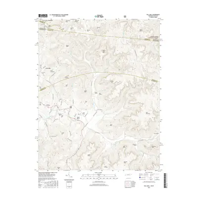
2016 Map of Pall Mall
USGS Topo · Published 2016About this map
The Wolf River winds through the borderlands of Tennessee and Kentucky, anchoring a landscape defined by deep hollows and prominent ridges. Near the settlement of Pall Mall, the river valley is flanked by Arion Mtn and Wolf River Cem, marking a region with deep ancestral roots. The terrain is a complex network of elevations, from the heights of Honey Spring Mtn and Fitzgerald Knob to the sheltered depths of Cave Hollow and Keeton Hollow.
Find a feature on this map
95 named features on this map. Tap any name to fly to it.
Don’t see what you’re looking for? This feature index may not catch every label — zoom into the map to look around manually.
Map Details
Editions of this 2016 Pall Mall Map
This is the sole edition of this map. No revisions or reprints were ever made.
Other maps of this area

1895 · Wartburg
USGS Topo · 1:125,000

1896 · Wartburg
USGS Topo · 1:125,000

1897 · Standingstone
USGS Topo · 1:125,000

1898 · Standingstone
USGS Topo · 1:125,000

1929 · Byrdstown
USGS Topo · 1:62,500

1934 · Pall Mall
USGS Topo · 1:62,500

1954 · Stockton
USGS Topo · 1:24,000

1954 · Parmleysville
USGS Topo · 1:24,000

1954 · Jamestown
USGS Topo · 1:24,000

1954 · Savage
USGS Topo · 1:24,000