
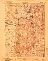
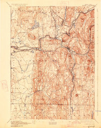
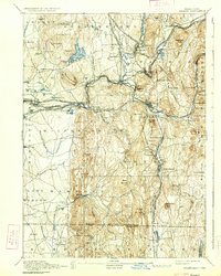
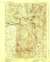
1893 Map of Palmer
USGS Topo · Published 1893About this map
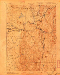
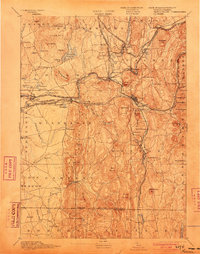
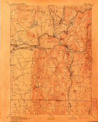
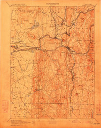
Industrial villages and vital rail corridors define this late 19th-century landscape where the Central Vermont Railroad and the Boston and Albany Railroad converge. The topography is dominated by the valley of the Chicopee River and its tributaries, which powered numerous manufacturing hamlets such as Thorndike, Three Rivers, and Bonds. Notable social institutions of the era are present, including the State Alms House near Monson, providing a look into how the state managed its vulnerable populations before the turn of the century.
Find a feature on this map
121 named features on this map. Tap any name to fly to it.
Don’t see what you’re looking for? This feature index may not catch every label — zoom into the map to look around manually.
Map Details
Editions of this 1893 Palmer Map
9 editions found
Other maps of this area

1885 · Northampton
USGS Topo · 1:62,500

1886 · Springfield
USGS Topo · 1:62,500

1886 · Northampton
USGS Topo · 1:62,500

1887 · Brookfield
USGS Topo · 1:62,500

1887 · Palmer
USGS Topo · 1:62,500

1887 · Belchertown
USGS Topo · 1:62,500

1887 · Barre
USGS Topo · 1:62,500

1889 · Springfield
USGS Topo · 1:62,500

1889 · Palmer
USGS Topo · 1:62,500

1889 · Barre
USGS Topo · 1:62,500