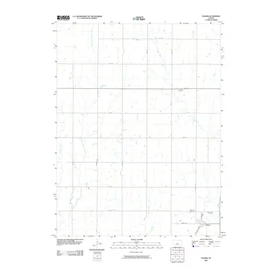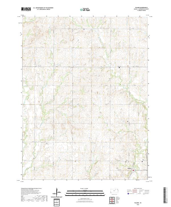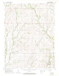
1968 Map of Palmer
USGS Topo · Published 1969About this map
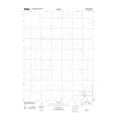
The town of Palmer anchors the southeastern corner of this Kansas landscape, situated where the Missouri Pacific railroad cuts across the prairie. The geography is defined by a dense network of drainage systems, including the meandering Parsons Creek and its East Branch, alongside Peats Creek and Spring Creek. These waterways carve through the agricultural townships of Strawberry, Sheridan, and Linn, illustrating a late-1960s rural pattern of isolated farmsteads and schoolhouses.
Find a feature on this map
18 named features on this map. Tap any name to fly to it.
Don’t see what you’re looking for? This feature index may not catch every label — zoom into the map to look around manually.
Map Details
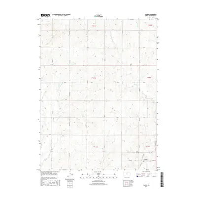
Editions of this 1968 Palmer Map
This is the sole edition of this map. No revisions or reprints were ever made.
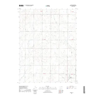
Historical Maps of Palmer Through Time
6 maps found