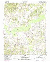
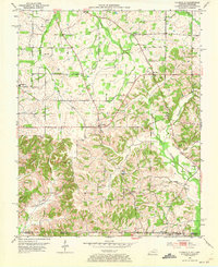
1956 Map of Palmersville
USGS Topo · Published 1985About this map
Palmersville serves as the central hub of this agricultural landscape in Weakley County, where the North Fork of the Obion River and Cane Creek converge. The area is defined by a dense network of country churches and family cemeteries, reflecting a deeply rooted rural community structure. Notable landmarks include New Salem Ch, Union Chapel, and the Union No 1 Sch, which once anchored local social and civic life.
Find a feature on this map
53 named features on this map. Tap any name to fly to it.
Don’t see what you’re looking for? This feature index may not catch every label — zoom into the map to look around manually.
Map Details
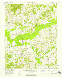
Editions of this 1956 Palmersville Map
2 editions found
Other maps of this area

1936 · Crossland
USGS Topo · 1:24,000

1936 · Lynn Grove
USGS Topo · 1:24,000

1950 · Osage
USGS Topo · 1:24,000

1950 · Cottage Grove
USGS Topo · 1:24,000
1951 · Murray
USGS Topo · 1:62,500
1951 · Lynn Grove
USGS Topo · 1:24,000

1952 · Dresden
USGS Topo · 1:24,000

1952 · Cuba
USGS Topo · 1:24,000

1952 · Mayfield
USGS Topo · 1:62,500
1952 · Lynnville
USGS Topo · 1:24,000