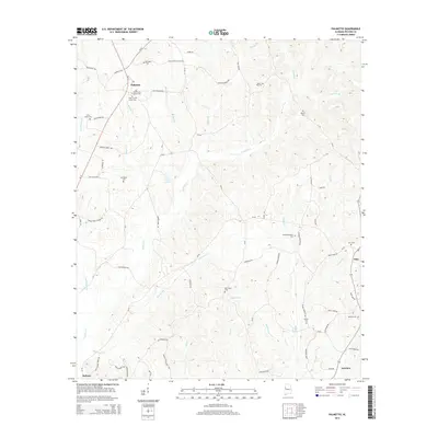
2014 Map of Palmetto
USGS Topo · Published 2014About this map
Palmetto and the surrounding rural reaches of Pickens County are defined by a complex network of creeks and numerous community burial grounds that anchor the local heritage. Small settlements like Zion and Fairview sit amidst a landscape drained by the winding Lubbub Cr and Wild Goose Cr. The area is remarkably dense with family and community landmarks, including the Unity Grove Cem cluster and the Old Salem Cem. Transportation routes such as Al-17 and Al-159 connect these disparate points, while smaller roads like Bonner Farm Rd and Johnny Boyd Wilkins Rd reveal the persistent agricultural and residential patterns of this Alabama countryside. Near the southern edge, the terrain transitions toward the town of Reform, where the creek systems begin to converge.
Find a feature on this map
77 named features on this map. Tap any name to fly to it.
Don’t see what you’re looking for? This feature index may not catch every label — zoom into the map to look around manually.
Map Details
Editions of this 2014 Palmetto Map
This is the sole edition of this map. No revisions or reprints were ever made.
Other maps of this area

1953 · Birmingham
USGS Topo · 1:250,000

1953 · West Point
USGS Topo · 1:250,000

1956 · Birmingham
USGS Topo · 1:250,000

1957 · Birmingham
USGS Topo · 1:250,000

1958 · West Point
USGS Topo · 1:250,000

1963 · West Point
USGS Topo · 1:250,000

1967 · Carrollton
USGS Topo · 1:24,000

1967 · Brownville
USGS Topo · 1:24,000

1967 · Newtonville
USGS Topo · 1:24,000

1967 · Kennedy
USGS Topo · 1:24,000