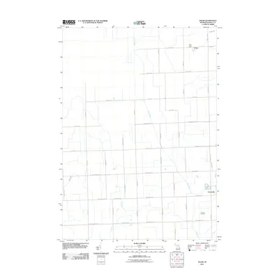
2011 Map of Palms
USGS Topo · Published 2011About this map
Deckerville and the village of Palms anchor this Sanilac County landscape, where the agricultural grid of the Thumb region is etched into the terrain. The northern reaches of the Black River meander through the center of the sheet, joined by local waterways like Behnke Creek and the Pelton Drain. This 2011 survey by the U.S. Geological Survey provides an essential perspective on the rural infrastructure of Marion Township, documenting the precise locations of the Palms Post Office and Downing Cemetery at the junction of Downington Rd and Range Line Rd. The landscape is defined by its rectilinear road network, with primary routes such as Deckerville Rd and Shabbona Rd connecting isolated farmsteads and the central settlements. This map serves as a detailed record of land use and property boundaries in a region defined by its fertile plains and drainage systems.
Find a feature on this map
41 named features on this map. Tap any name to fly to it.
Don’t see what you’re looking for? This feature index may not catch every label — zoom into the map to look around manually.
Map Details
Editions of this 2011 Palms Map
This is the sole edition of this map. No revisions or reprints were ever made.
Other maps of this area

1954 · Flint
USGS Topo · 1:250,000

1958 · Flint
USGS Topo · 1:250,000

1963 · Snover
USGS Topo · 1:24,000

1963 · Ruth
USGS Topo · 1:24,000

1963 · Sandusky
USGS Topo · 1:24,000

1963 · Ubly
USGS Topo · 1:24,000

1963 · Minden City
USGS Topo · 1:24,000

1963 · Palms
USGS Topo · 1:24,000

1963 · Deckerville
USGS Topo · 1:24,000

1963 · Argyle
USGS Topo · 1:24,000